Trip Planning
Overlanding Skills
Trip Planning
Trip Planning
Trip planning is not the easiest thing to do, but it can make a world of difference with the kinds of experiences we walk away with.
There is also something to be said for having experiences that organically occur and wind you up in places, and with experiences, you never dreamed possible.
Expedition Overland Trip Planning
We know plenty of overlanders who develop their plans on the fly. We pursue a bit more methodical approach.
Our approach to trip planning starts with defining our goals for each trip.
For example, the goals for our overland trip from the US to Argentina included the following:
- To become more experienced overlanders
- To continue building our shared story together
- To explore indigenous communities and Aztec and Mayan ruins throughout Mexico, Central and South America
- To pursue the best outdoor adventures in Mexico, Central and South America including mountain biking, scuba diving, surfing and trekking adventures
Once we define the high level goals of our trip, we develop a list of the key adventures we want to pursue in each country.
This step tends to take the most research and time, especially since we like to get off of the beaten path. For example, when planning our trip through Mexico, we identified the following adventures that we wanted to pursue in ~6 weeks:
- Exploring some of the most beautiful “Pueblos Magicos” in the Central Highlands of Mexico
- Going paragliding in Valle de Bravo
- Exploring the indigenous communities in Oaxaca’s valleys
- Going mountain biking in the Sierra Juárez mountain range in Oaxaca
- Exploring the Oaxaca Coast including Chacahua National Park
- Exploring the remote Mayan ruins in the of Lacandón Jungle
- Going scuba diving in the cenotes of the Quintana Roo
Tips and Tricks
The Lonely Planet Guides typically include a “When to Go” section for each country which can help to identify the high season, shoulder season and low season in each country.
Once we are on the road, we develop a more detailed itinerary for the next few weeks.
Here’s an example of this final step of our process for the first 8 days after crossing the border from Argentina into Chile. This itinerary was more detailed than usual since we had to be back in Futalefú by a specific date for a river rafting trip.
- Drive to Parque Pumalín – 1 day
- Go shopping in Chaitén
- Stay at the Parque Pumalín – Campsite El Volcanan campground (-42.781444, -72.644358)
- Go hiking in Parque Pumalín, e.g. complete the Volcan Chaitén Sendero Hike, a 5 hour hike through the blast path to the puffing crater (-42.808336, -72.667719) – 2 days
- Drive to Puyahuapi – 1 day
- Soak in the Termas del Ventisquero (6km south of Puyahuapi) (-44.372081, -72.576657)
- Stay at the Queulat Campground, Ventisquero Colgante (-44.470650, -72.548150)
- Go hiking in Parque Nacional Queulat, e.g., complete the Mirador Ventisquero Colgante hike (-44.452595, -72.527786) – 1 day
- Drive back to Futalefú – 1 day
As you can see, we used iOverlander to identify specific campgrounds we wanted to stay at and the coordinates of each campground. This itinerary was only 5 days of activities for an 8 day period, allowing us to add another day or two in one or more locations (or to add another activity on the fly). Of course, detailed itineraries always change so be prepared to be flexible.
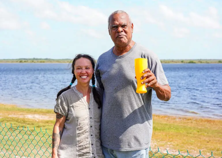
One of the things that we do when we are on the road is to get as much advice from local athletes, overlanders and other adventurous people about their favorite adventures as well as beta on campgrounds and routes.
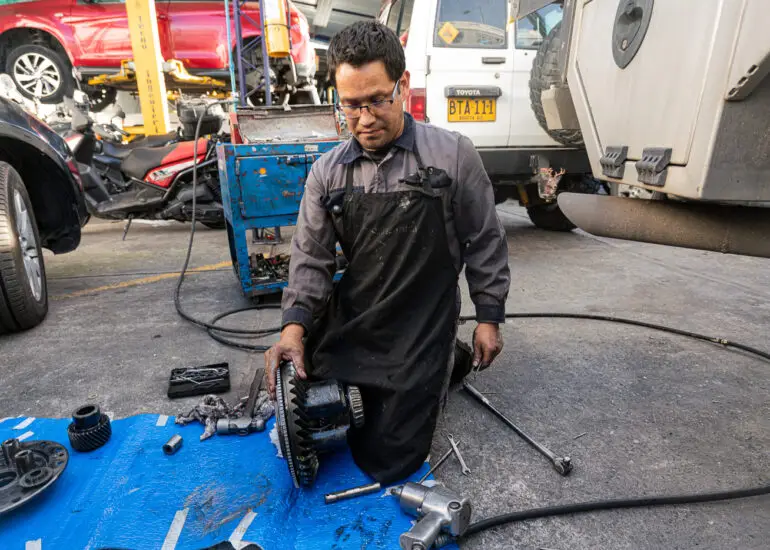
For example, when we were getting our rig repaired in a garage in Lima, we met a mechanic who introduced us to a friend of his named Piero in Cusco. On the way to Cusco, we contacted Piero and he let us stay at his house for over a week. Piero introduced us to his friends throughout South America and we ended up having some of the most epic adventures of our trip with them, including a river rafting expedition down the Apurimac River in Peru. We are still friends with Piero and his family today. And the time that we spent with Piero, his family, and friends were the most magical and memorable moments of our trip. So if you remember anything about this article, remember to form friendships, or at least get advice from fellow travelers and locals during your overland expeditions. If you are an introvert, that’s OK. Just figure out a way to introduce yourself, start a conversation and ask for a bit of advice. It will be well worth the effort.
Choosing Campgrounds
Finding campgrounds is relatively straightforward using apps like iOverlander in Mexico, Central and South America and Park4Night.com in Europe.
There are often multiple options in each city or town. We’d recommend identifying these ahead of time and then checking them out when you arrive. Don’t be afraid to camp in informal campsites including gas stations and restaurant parking lots as long as they feel safe. For example, in Argentina, we camped at several YPF stations when we couldn’t find other options. Most of them had areas where truckers parked and showers that you could use for a fee or for free. When you arrive at your campground, check the internet and showers. And don’t forget to try to negotiate a better rate, especially if you are staying for multiple nights.
Tips and Tricks
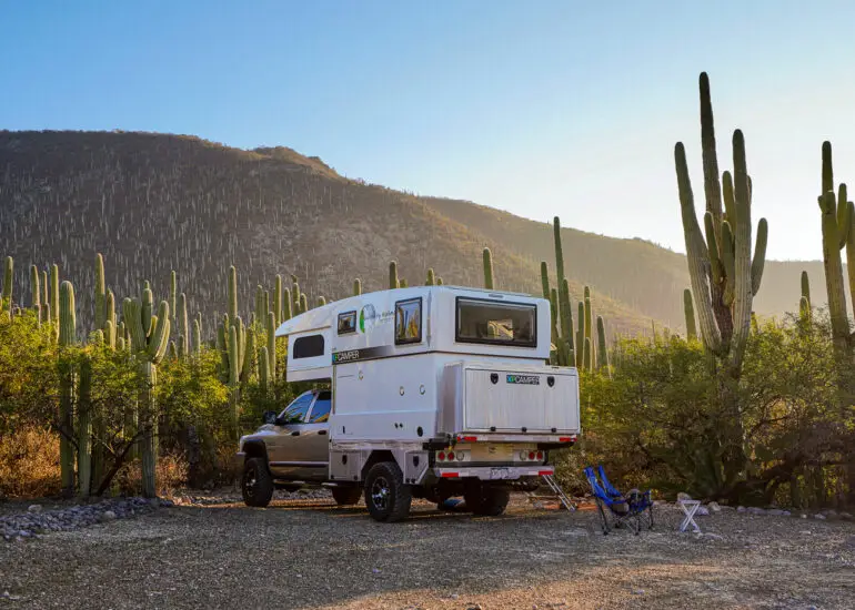
One of the most common ways overlanders get stuck in mud or sand is when looking for a wild campsite, or even looking for the best spot in an informal campsite.
If in doubt, always get out of your rig and check the terrain to ensure that it’s firm enough. Also, be careful about camping in areas that are prone to floods, mudslides or rockfall.
A Horror Story
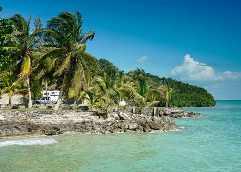
While looking for campgrounds on the Hummingbird Highway between Belmopan and the coast of Belize, we came across this post, a description of the “By the river” wild campsite. “Do NOT camp at this location in the rainy season (June-Nov)! We made the mistake of doing so and our rig was washed away in the middle of the night. The water rose about 1 foot within a few minutes, very scary! We are lucky we woke up and noticed it and got out on time, but we had to end our trip because of it. We could tow our car out when the water went back down the next day, but all our interior and many possessions were damaged. Be very careful and ask the locals if you’re not sure. If we had asked, they would have told us camping here was a stupid idea.”
Overland Expedition Navigation
On road navigation is actually pretty straightforward in most countries. Some people prefer Google Maps while others prefer Maps.me. We find that Google Maps works better, especially in cities and towns. However, sometimes using a combination of both can help. In either case, make sure to download the maps ahead of time. It is easy to download Maps.me maps. But downloading Google Maps maps is a bit more difficult in large part because you can only download a certain number of Google Maps maps at a time. As a result, make sure to download Google maps when you have really good internet coverage and plenty of time. You can also add campgrounds, restaurants and tourist attractions that are in iOverlander to both Google Maps and Maps.me maps. We also carry paper maps (specifically National Geographic Adventure Maps) for countries in which we are going to be spending a lot of time. One of the things that we use these paper maps for is to get input on our plans, including routes, from locals and other locals and fellow travelers.
Tips and Tricks
It’s likely you’ll run into situations where it’s difficult or impossible to navigate through a town due to street closures, one-ways, and streets that are too small to make turns in larger vehicles. We ran into several towns like this on our way from Lake Atitlán to western Guatemala. Finally, after coming within inches of hitting things, including other vehicles, we stopped and hired a mototaxi (often known as a Tuk-Tuk) to get us through the town. He wasn’t surprised by our request at all and was happy to help (and to get a fare).
One of the things that we’d recommend avoiding is historical centers of colonial cities, especially if you have a big rig. At a minimum, if you have to drive through the a colonial city, spend plenty of time planning your route so you don’t get into a pickle like the one we got into in the center of Cusco, Peru, and several others in Mexico and Guatemala.
Our Trip Planning Resources
We have covered the key resources that we use to plan overland expeditions above, including iOverlander in the Central America, Mexico, South America and the US and Park4Night in Europe.
Here are a few additional related sites that we use for trip planning:
- Expedition Portal forums is a decent source of information on overland expeditions but it’s a bit hard to find relevant information on it
- The Road Chose Me is a great source of information re. overlanding in Africa and Australia
- Wandering Bird is a website that includes some great articles on overlanding in Europe
- WikiOverland is a great source of information on overlanding through over 80 countries
Comments are closed.
Adventure.Wolves
